Here’s a look at never-before-seen lightning footage from summer2018. 🌩️
Eight years in the making!
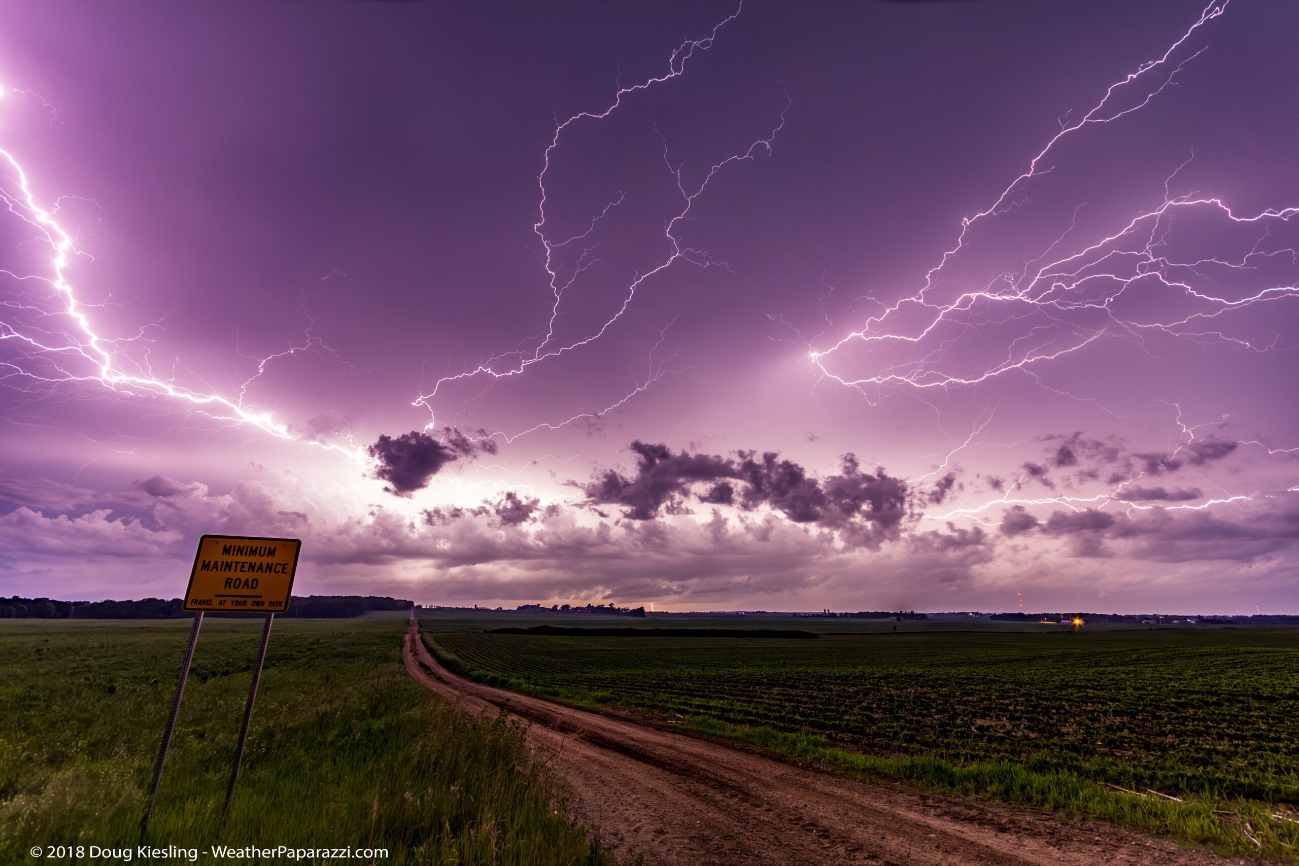
On June 18, 2018, I captured nearly 1,000 photographs of an incredible lightning storm just south of St. Cloud, Minnesota.
I always wanted to turn these images into a time-lapse, but life and work got in the way.
Now, eight years later, I’ve finally had time to go back through the archives and bring this storm to life! And this is one of many never-before-seen gems just locked away in the digital vault that I have finally organized and finally publishing.
Hello again to the few of you who follow my personal page 🙂
Now that I have the time to work on my own work, I’ve been working on a ton of backlogged time-lapse edits and still photography that has never really seen the light of day or even been posted.
I had time to revisit this image from a somewhat local storm chase from June 16th, 2018. I’m calling this image “The Road Less Traveled”.
I have so many cool photos that I have never really shared, and I’m thinking of doing some very limited edition prints. Limited, as in fewer than 6 total, with the artist’s proof, so only 5 would ever be available for collectors. It is just a thought for now, but it is something I would love to do to leave a legacy for my daughter, Laura.
Over the last six months, I have basically overhauled my company StormChasingVideo.com, due to the shifting landscape of the media business. This has allowed me to streamline and automate much of the business, so I have more free time to finally catch up on paperwork, video editing, photo editing, and countless side projects, like the massive copyright review of all the stolen material.
It is time to get back to the editing projects; I have over 100 TB of my own data, along with the crew from StormChasingVideo.com, to work on over the winter.
Wow, it is a few days before Halloween and I was chasing a severe storm close to home. I had to take care of some office work this morning. The boring behind the scenes work that nobody see’s or hears about , contract review, copyrights, billing. You know that stuff that is not the exciting side of chasing but has to be done to be able to keep chasing. I guess that is why it is called the “Entertainment Business”.
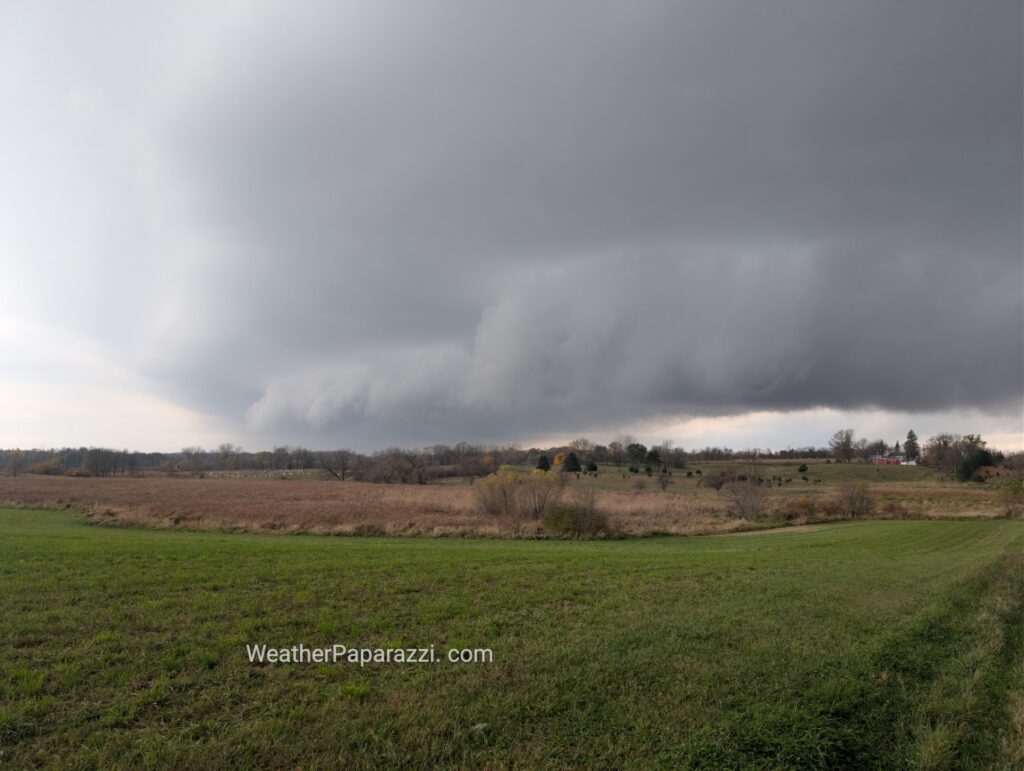
Anyway, I got south of Kimball, MN, and saw the storm looked decent and surface-based. It was severe-warned and had some hail reports, but I wasn’t holding out much hope of seeing anything, since I didn’t even see one CG (cloud-to-ground lightning). I set up the camera for a time-lapse video (see below) and then started seeing very weak rotation as the updraft area passed overhead.
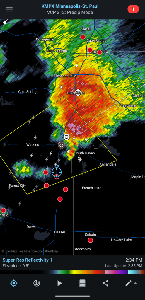
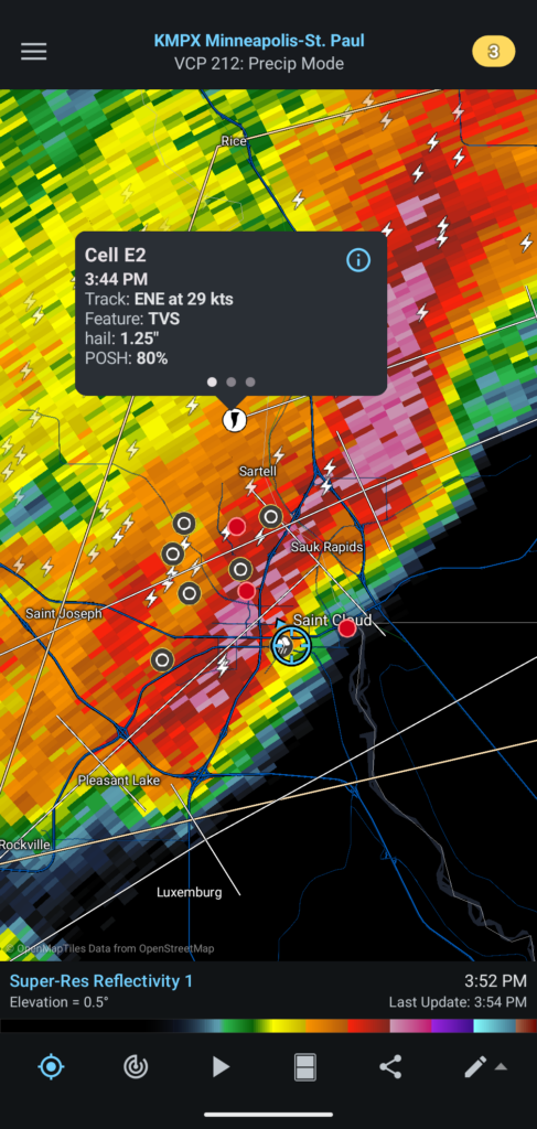
As soon as the storm moved off, it was done. You can see it on the radar image, with my location in the blue circle; the storm moved rapidly northeast and out of the area.
I’m not complaining because the forecast models showed the storm initiating farther south, near the Twin Cities metro area. With the high price of fuel, I’m happy for the 25-minute drive south to see a late-season storm.
As soon as I got back into the Saint Cloud area, the next line of storms pulled together and started dumping small hail and heavy rain from the training storms (storms that keep forming and hitting the same area). It was interesting to see the TVS signature on the storm north of town, but it wasn’t worth chasing for me, since we had other plans for the night. We had tickets to go see the “OZZY & BLACK SABBATH: BACK TO THE BEGINNING” movie.
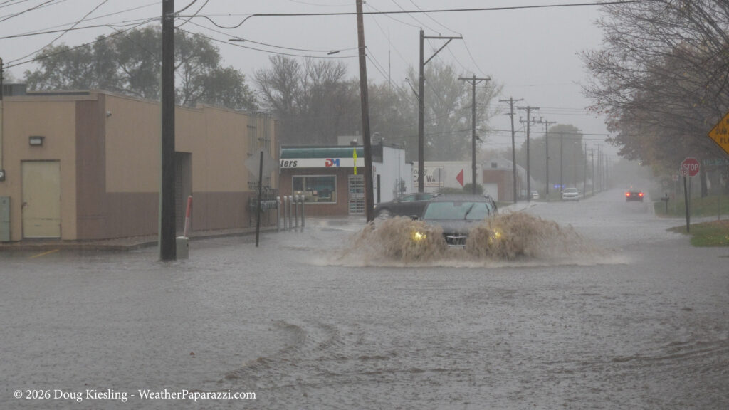
There was flooding in some of the areas that are known for it, but the area under 9th Avenue and Highway 23 looked as if it was closed down as a precaution, and there was no really high standing water that I have seen many times in the past.
Below is a short video of what I saw, nothing too crazy, just a quick video to document the storm.
It is late; time to call it a night and go back into the office for more of that exciting “behind-the-scenes” stuff for storm chasing… Hey, at least I’m updating the page after a chase 🙂
One of the downsides of working in storm chasing as a chaser and as a manager to dozens of chasers for StormChasingVideo.com, is that a lot of the time, my own work gets shoved aside for the latest breaking news story. So one bonus of this boring weather, with not much to chase or do in the upper Midwest this fall, is that I can finally catch up on years of backlogged work.
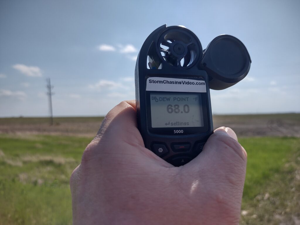
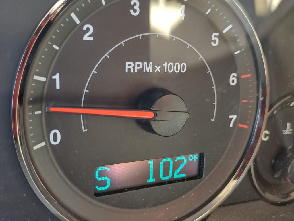
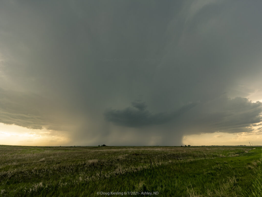
I just looked at my work photo storage drive and picked a day at random to review and edit the images. I found June 7th and June 9th, 2021. These were North Dakota chase days with more storm structure and a lightning-chase setup. Still a fun chase, but one I forgot about because of so much other work and life priorities until now. As I started posting the still photos I shot on the A7R4, I ended up doing a deeper dive into what I also shot on my phone. I remember thinking the day would be huge or a bust because the temp at one point was over 100¯F.
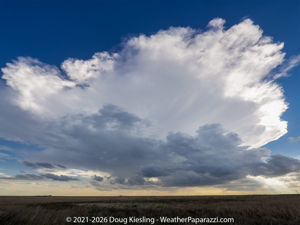
Once the storm started to fire, I was treated to some atmospheric art as the cloud seemed to almost explode into the sky.
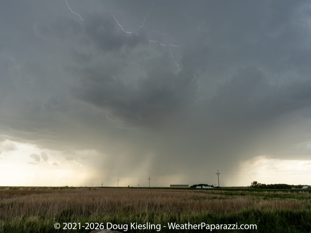
Storm Rising, Ashley, North DakotaElectric Lines In The Sky – Ashley, ND Hail core and rain foot, Ashley, North Dakota.
The three images are from near Ashley, North Dakota, on 6/7/2021, when the storm forecast looked promising, but it turned out to be a short-lived tornado I played hide-and-seek with.
The storm did produce, but very weak spin-ups in the middle of nowhere where nothing was damaged.
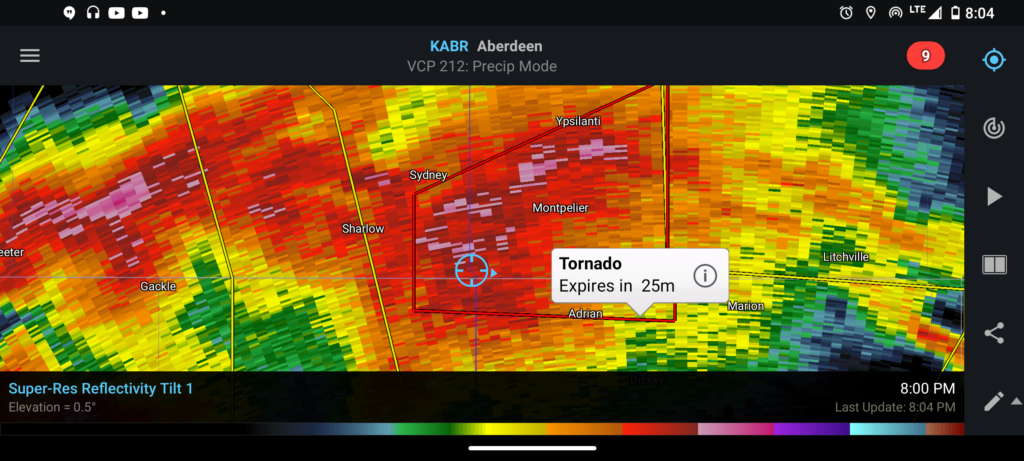
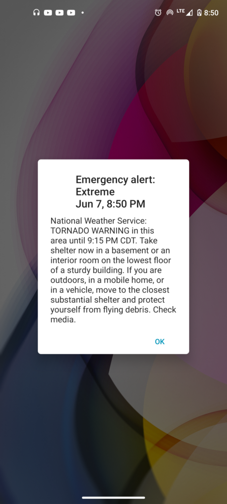
My location to the tornado warned storm, I’m pretty much in it.
This is the report from the Storm Prediction Center for this storm.
MULTIPLE REPORTS OF A TORNADO BETWEEN GACKLE ND AND SOUTH OF SHARLOW ND OR 5 WNW MILLARTON. ONE SPOTTER CALLED IN TORNADO THAT QUICKLY BECAME RAIN WRAPPED 5 WNW MILLART (BIS)
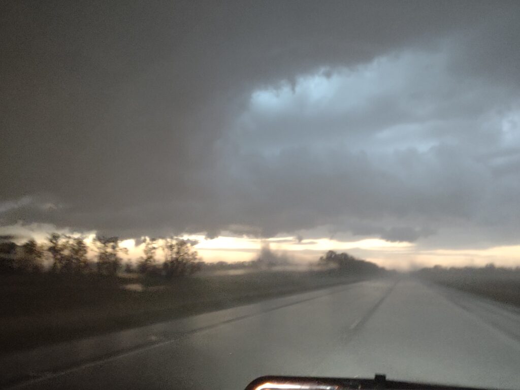
Lowering prior to the tornado warning.
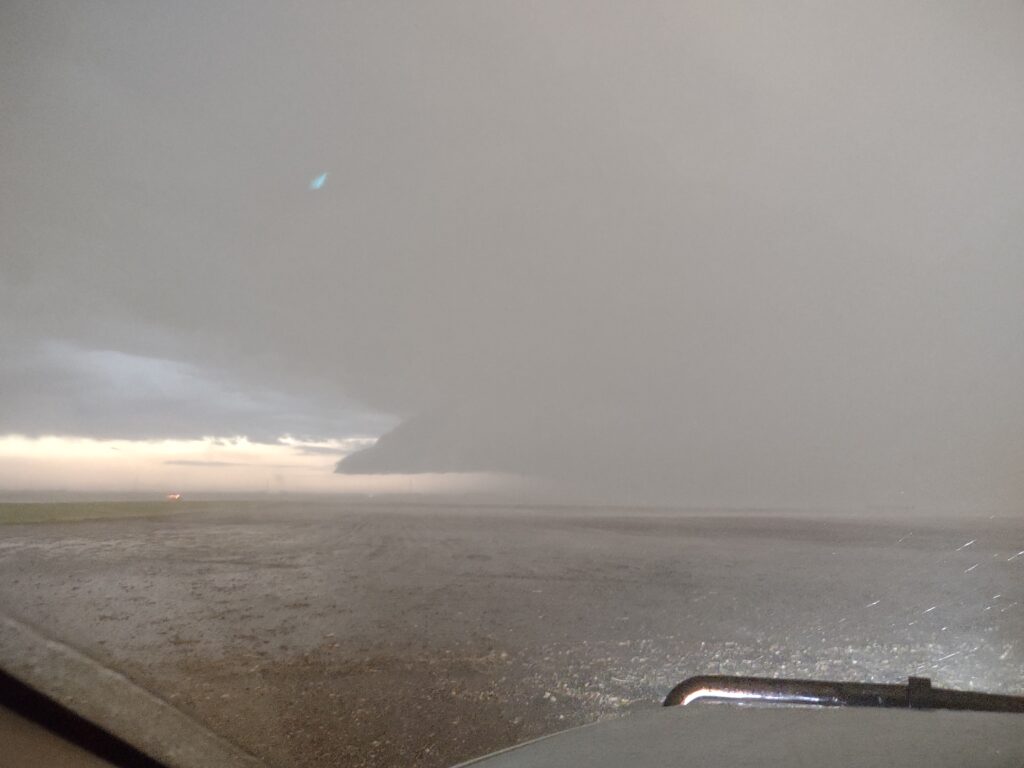
The image below is the weak dust up image I was able to grab on my cell phone since I was not sure if that was what really was being warned.
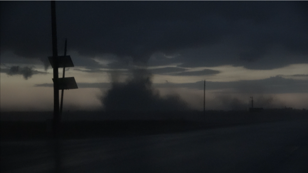
The image below is a screen grab from the dash camera showing what I heard was the reported tornado. It was at dusk and very hard to see but it could have been, so I guess I should count it as another tornado intercept.
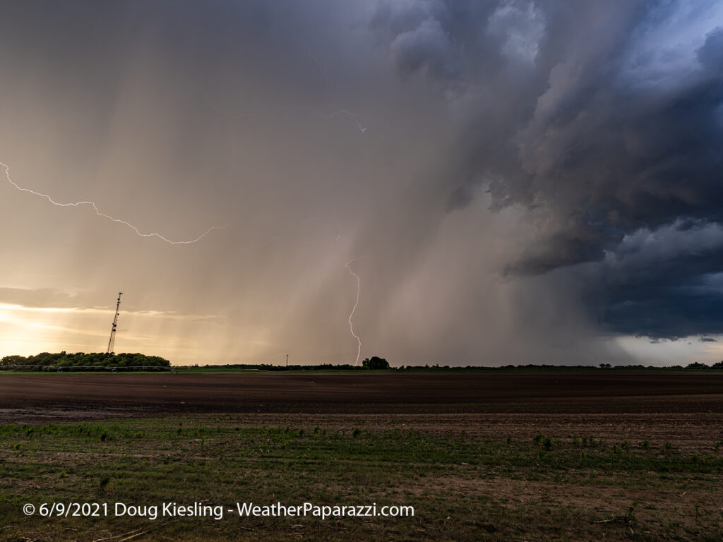
The image below was from 6/9/2021, when the storm was closer to home, north and east of Saint Cloud, MN.
Lightning near Saint Cloud, MN 6/9/2021
I have a ton of paperwork to catch up on and new work for new clients on upcoming movies and television shows, but I’ll update the personal website more regularly, every few days. It’s not like I don’t have the content to post; I’m just finding the time to post it 🙂 I still have to review my raw footage from this these days.
The footage we did post was from Juston and Simon who were also on the storm.
Hello everyone, I’m still around, storm chasing, and doing photography. I had to do a lot of behind-the-scenes work over the last year. I don’t need to get into detail, but I did a ton of work rebuilding, organizing, and sorting through data. I finally got StormChasingVideo.com online with the news side fully automated.
Now comes the Phoenix mode, rising from the ashes and coming back to life on my personal side of photography and videography.
I just got back from what I call a War-Driving trip, where I put on over 2,200 miles in just three days. Yes, you read that correctly: over 2,200 miles in three days.
The trip took me from Minnesota through Iowa into Missouri, where I had lunch, then on to Kansas for a meeting. I then headed north to Omaha, Nebraska, to spend the night. The following day, Friday, I drove from Omaha, Nebraska, to the Gillette, Wyoming, area for another in-person business meeting. At an Average of $4.25 per gallon for fuel, it was a little expensive, but still much cheaper than flying.
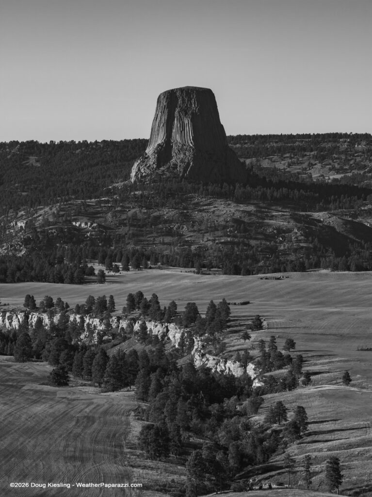
After the business meeting, I had the rest of Friday afternoon free to capture photos and video for the photo and video archive. I was very close to Devils Tower, and I had my drone with me, so I checked the airspace and local regulations with a local sheriff’s deputy just outside the park in a public viewing area. I was told that as long as I was not bothering anyone, I was free to fly; just don’t fly in the park’s airspace.
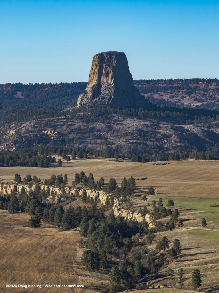
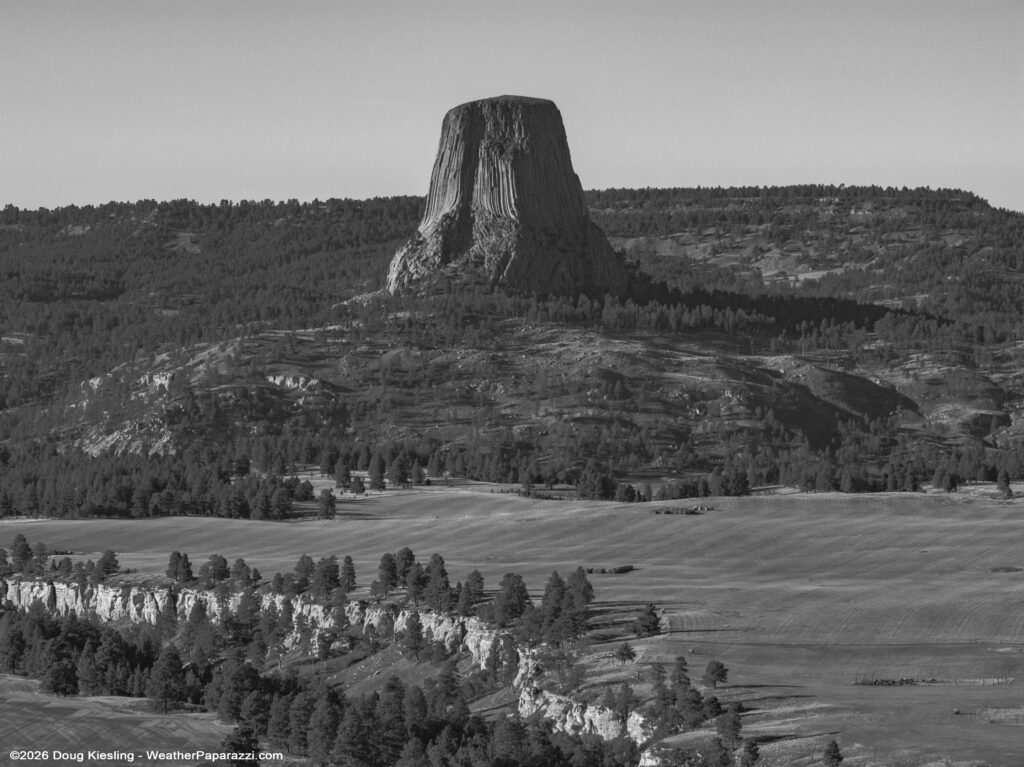
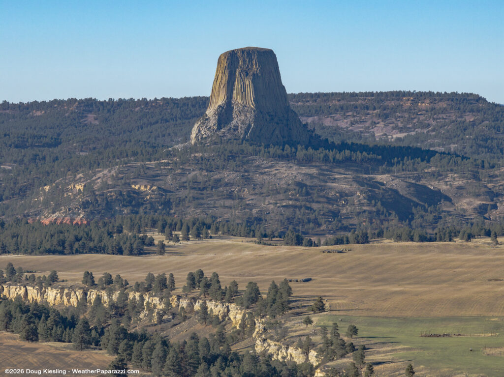
Here are a couple of the images from the photo shoot. I flew the DJI Mavic 4 Pro to 390 feet in Class G Airspace to capture these unique shots.
Devils Tower – Black And White from 390 Feet AGL – 10/16/2026 – Douglas KieslingDevils Tower – Color from 390 Feet AGL – 10/16/2026 – Douglas KieslingDevils Tower – Black And White from 390 Feet AGL, Wide Shot – 10/16/2026 – Douglas KieslingDevils Tower – Color from 390 Feet AGL, Wide Shot – 10/16/2026 – Douglas Kiesling
After making it just outside the park to capture the photographs I had imagined, I headed back towards home in Minnesota. I knew I wasn’t going to “War-Drive” all the way back home that night, and I had another idea for a photo shoot the next morning, just outside the Badlands at Sunrise.
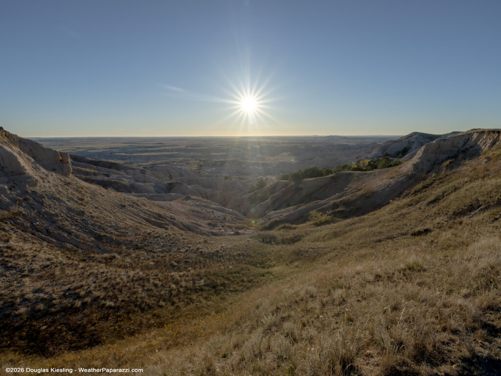
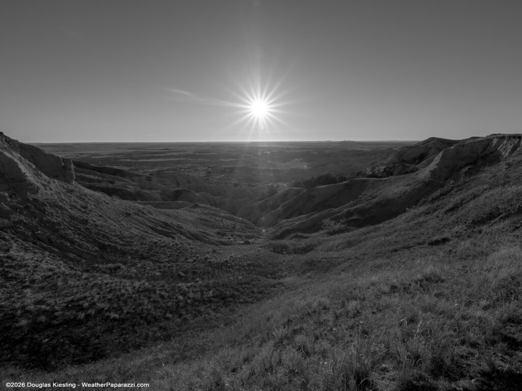
So the journey home began, and I spent the night in Wall, South Dakota, with plans for an early morning photography project. I wanted to try to photograph the sunrise over the badlands. I knew the weather would be decent, so I had a good chance of getting the image I imagined.
I got a full night’s sleep and woke up about 45 minutes before sunrise to head to the area I was thinking about.
Badlands Sunrise – 10/17/2026 – Douglas Kiesling
And just for fun, here is the black-and-white version of this image.
Badlands Sunrise – 10/17/2026 – Douglas Kiesling
Now it is time to get back to work here at home to get ready for winter. I will be posting more over the coming days, weeks, and months now that I have worked on some customization code so I can post to my personal blog first, and it will also carry over to my social media accounts if I want it to.
It was amazing to be back out chasing the winter weather here in Central Minnesota last night. I still have not gone to bed or gotten any sleep, as I was waiting to see if Laura was going to school today or if it was called off because of a snow day. I’m about to get some sleep and then get back out there to cover the aftermath of this winter storm.
And yes, I’m actually posting again with current posts before I take a nap and get back to work this morning. We got 3.5 inches of snow here in Saint Cloud, MN, from this Winter Storm, but it could have been worse.
So where is the video??? Here is the video. I covered the winter storm and near-blizzard conditions up to Alexandria, MN, and then back down to Saint Cloud, MN.
I talked to the crew in the Twin Cities while I was getting hammered with the near whiteout conditions at times between Sauk Centre and Saint Cloud, and I was told they were only seeing rain.
I know a lot of people will be upset because it did not live up to some of the hype other media outlets have told their viewers. I try not to hype any of the weather and downplay it more than I hype it. If you follow my Twitter (I hate the name X) you will get the jokes https://x.com/WxPaparazzi
If the freezing line and the colder air had been a little different, where it was colder and sub 32°F or 0c° by noon in Saint Cloud, I think we would have had at least at 12+ inches of snow. So the Winter Storm Warning and the Blizzard Warnings out by “The Hump” of western Minnesota were totally valid in my opinion. If anyone is pissed they did not get dumped on with feet of snow, remember, it’s only November! We still have4-5 Months of Winter to deal with here in MinneSnowda…
Here is your ray of hope if you’re a storm chaser. We are just shy of a month away for Tornado Chasing season 2026.
Last night I was able to get out to watch a brief Northern Lights display. I finally got a shot of the 4Runner with the Auroras. The display did not last long enough to do a decent timelapse but with how dead the weather has been, it was fun to get backout and shoot some content.
Getting back to my roots today and I went out and filmed some news footage.
It is incredible how much the local news scene has imploded from the two broadcasting companies in town and the local newspaper. I hate to say it, but the local news as we knew it is dead.
The key is, “Local News, As We Knew It Is Dead”. The local news scene is dead, as it was run for the last 100 years, for many areas around the country, but there is what I can only describe as a phoenix or rebirth of the news, and I’m exploring something with the help of one of my friends that I work with in the freelance area.
Local news is not dead; just the bloated machine that once controlled it.
Here is something we found in the archives for the 20th anniversary of Hurricane Katrina. While cleaning up and working on decluttering the office, we found the long-lost edits of my Five-Part Series about Hurricane Katrina in New Orleans. This was initially produced for the now-defunct “Current TV” network.
It was strange after Katrina. The footage was incredible, but I had never really done any interviews about being there for 20 years for anyone, just self-produced content. Yes, I really did have walking Pneumonia and a fever while chasing the storm, and I felt like crap, but I knew it was the storm of the decade.
For those wondering, why did I give one person a ride and not the other? Simple answer: Timing. If the man on Canal came up to me with a pet the next day, and asked for a ride to somewhere nearby that was dry, I would have said get in. You have to remember that, during the storm back in 2005, professional video cameras were huge. The front passenger seat of the SUV (GMC trail rental) was a huge camera mounted on a tripod that was strapped into the seat. The back seat and cargo area of the SUV were packed with survival gear, additional cameras, camera tapes, and computers. Remember, this was 2005, not 2025, when an iPhone could be used as a Movie Camera. After the storm, when I knew I could make it out and head west to Houston, I gave away most of the survival supplies to people at the hotel and the EMS staff at the airport, so the front seat and back seats were empty the next day.
To help support our freelancers, buy them coffee. https://www.buymeacoffee.com/stormchasing/
To License This Footage For Broadcast, Contact Video @ StormChasingVideo.com
Our Team Merch Store – https://stormchasingvideo.creator-spring.com