Hey Weather Paparazzi fan’s, just an update from the weekend as it was decent. On Friday I told Nick and Mandy that I was taking Sunday off and they said no, it’s a chase day but I said it was a chill day for my Birthday and wanted to just sleep in and relax. Well I did get just that. Neva kept Laura from waking me up and I actually slept until a little past noon, and it was amazing! For those of you that don’t have kids, you won’t understand and for those of you that do, you get it.
I know some thought I was being a downer on the storms yesterday since it did look good but I just wanted a chill day. Well the MD came out, then the tornado watch and finally a tornado warning, all while watching the radar and I told Neva I had to go chase as the storm over Saint Cloud was about about to produce.
As soon as I drove over to the east side of town…
BULLETIN – EAS ACTIVATION REQUESTED
Tornado Warning
National Weather Service Twin Cities/Chanhassen MN
337 PM CDT Sun Jul 28 2019
The National Weather Service in The Twin Cities has issued a
* Tornado Warning for…
Southeastern Benton County in central Minnesota…
Northwestern Sherburne County in central Minnesota…
* Until 415 PM CDT.
* At 336 PM CDT, a severe thunderstorm capable of producing a tornado
was located near Clear Lake, or 10 miles east of St. Cloud, moving
northeast at 30 mph.
HAZARD…Tornado.
SOURCE…Radar indicated rotation.
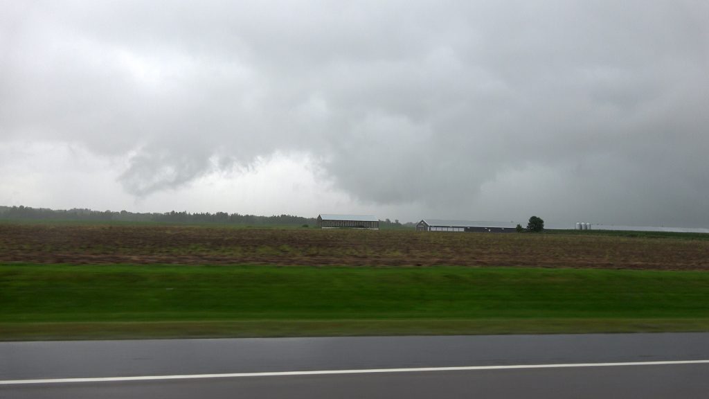
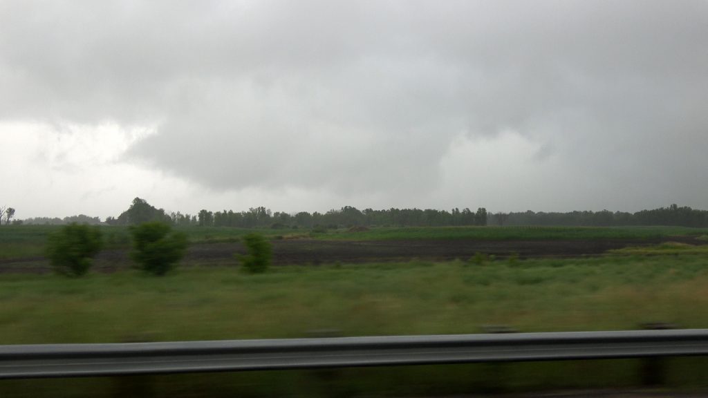
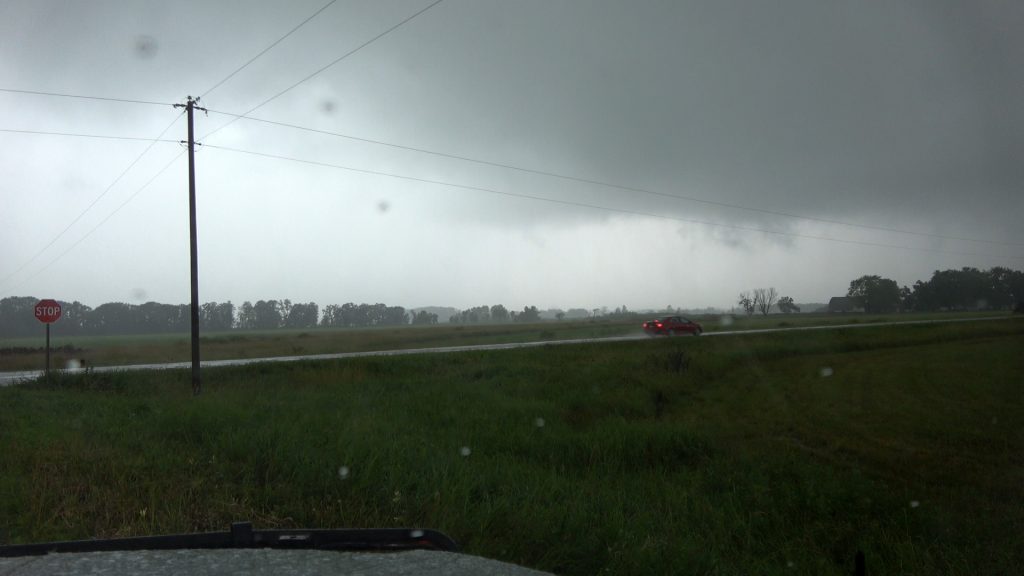
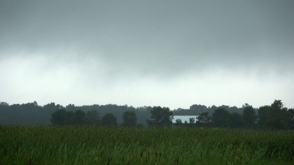
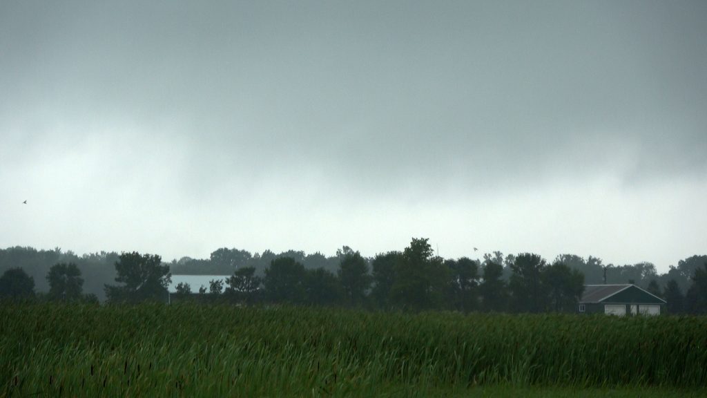
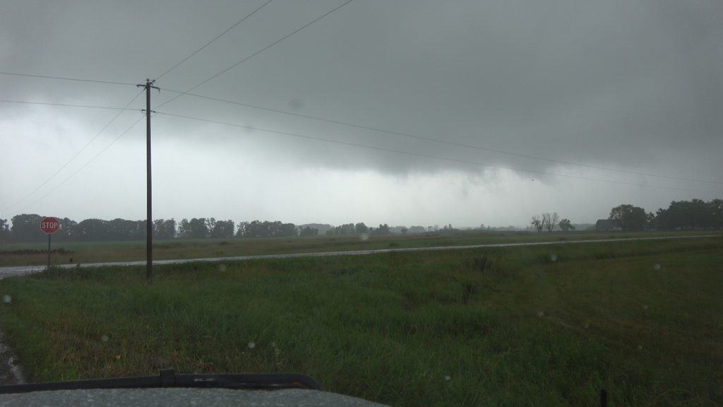
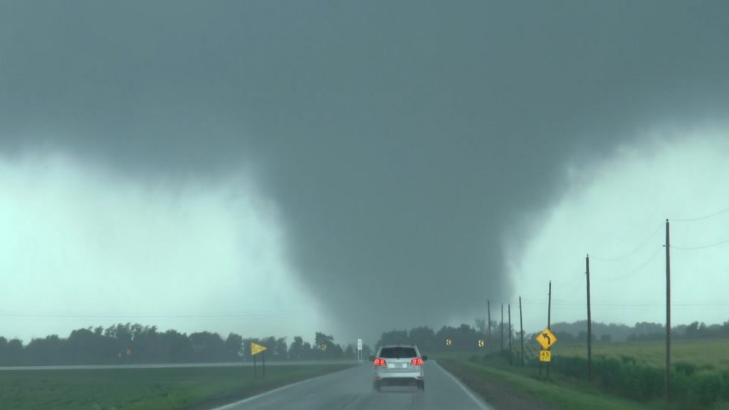
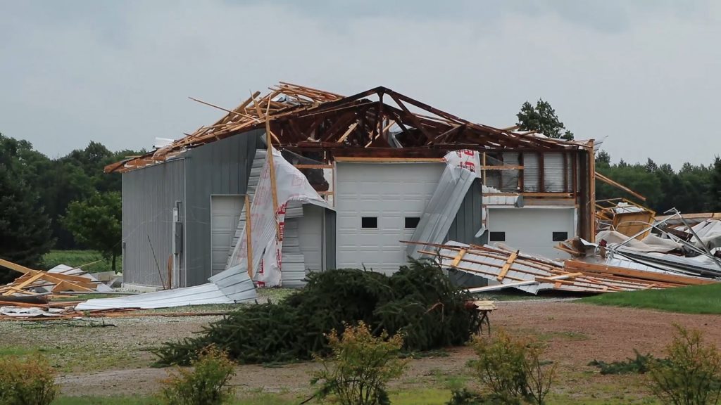
Here are some images of the chase. And no these are not watermarked as they are on MY website under my terms of service and no they may not be reproduced on your site.
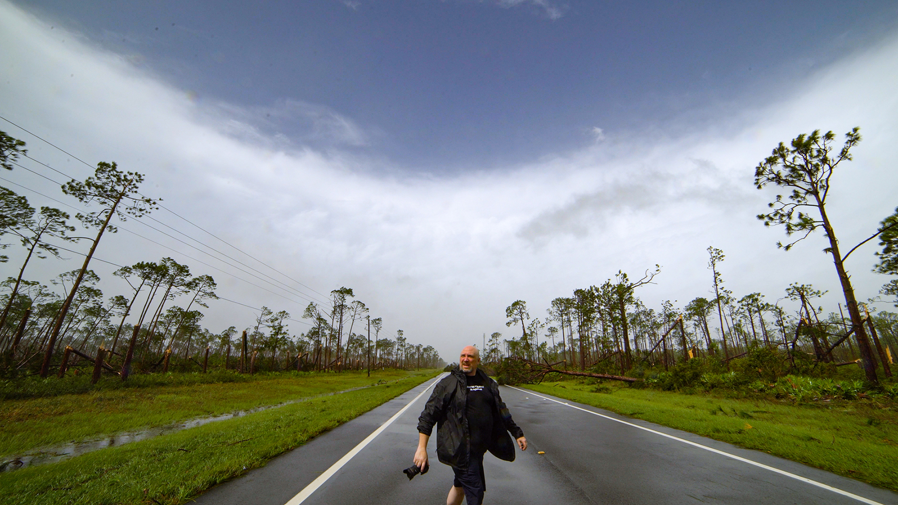
And then there was the chase from Nick and Mandy down south who called this one on Friday, yes, 48 hours before the chase. Again, SCV images, they are contracted with SCV, I own SCV and the images are hosted on company property and this website so no fair use allowed 🙂
And here is their video from yesterday.
