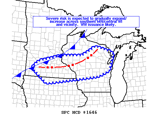
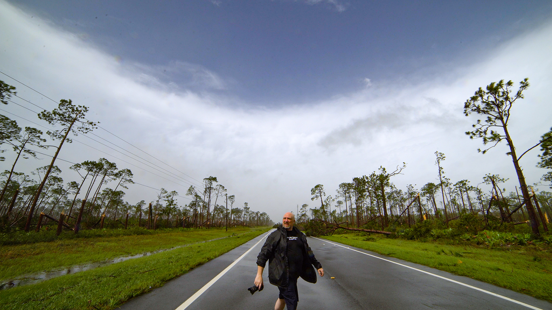
In the field now, decided to chase today. Targeting south central Minnesota and an MD just came out. Heading down to Owatonna now.

 Mesoscale Discussion 1646
   NWS Storm Prediction Center Norman OK
   0118 PM CDT Mon Aug 05 2019

   Areas affected...parts of central and northern Wisconsin...southern
   Minnesota...and adjacent northern Iowa

   Concerning...Severe potential...Watch likely

   Valid 051818Z - 052015Z

   Probability of Watch Issuance...80 percent

   SUMMARY...Severe potential is forecast to gradually increase across
   the discussion area, on the southern fringe of ongoing convection.
   Watch issuance is likely.

   DISCUSSION...Latest radar loop shows a band of thunderstorms moving
   east across western Upper Michigan and northern Wisconsin, while
   additional storms are increasing in coverage along the southern
   fringe of the ongoing band -- and westward along remnant outflow
   over southern Minnesota.

   The airmass ahead of the storms/convective outflow continues to
   heat/destabilize, with objective analysis showing 2000 to 3000 J/kg
   mixed-layer CAPE -- in line with the 17Z special RAOB from MPX.

   Latest VWPs, and the MPX RAOB, show low-level southerly/
   southwesterly flow veering to northwesterly aloft, and increasing
   40-plus knots at mid levels.  Resulting shear is supportive of
   organized/long-lived storms, and is contributing to an
   intense/long-lived updraft which moved through the Minneapolis metro
   area and has produced hail to tennis-ball size.

   As storms continue to increase -- and likely organize eventually
   into a south/southeastward-moving MCS, risk for severe weather will
   likewise ramp up.  As such, WW issuance will become increasingly
   likely over the next hour or so.

   ..Goss/Dial.. 08/05/2019
