Another great chase day where we saw 5 different tornado touch downs from the same location just south of Hawick, MN. Not bad for someone that does not chase anymore according to others that think you have to chase all the garbage to be a real chaser when forecasting is the key to not wasting your time. I think I earned a glass of the 18 year old The Macallan, that I’m sipping on now.
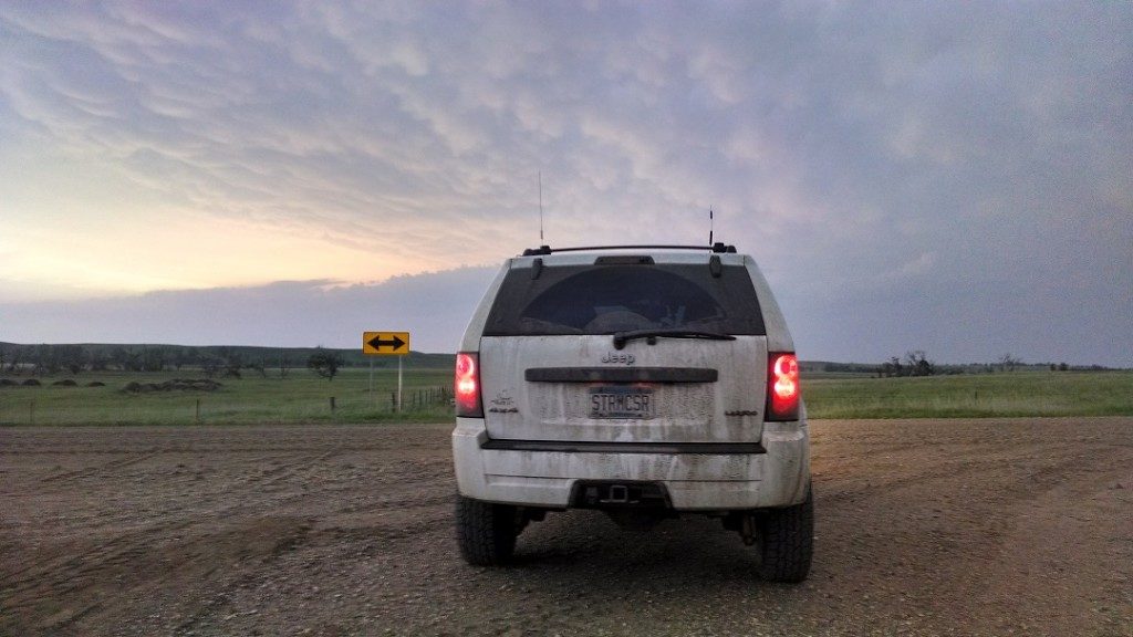
Today started out where I had to take care of some things around home and at the office again so I got a late start but the target was in my back yard. I was still at the office loading up gear when the first tornado warning was issued. The storm was only 30 minutes to my west so it was just a matter of pick up the cameras from the house and hit the road.
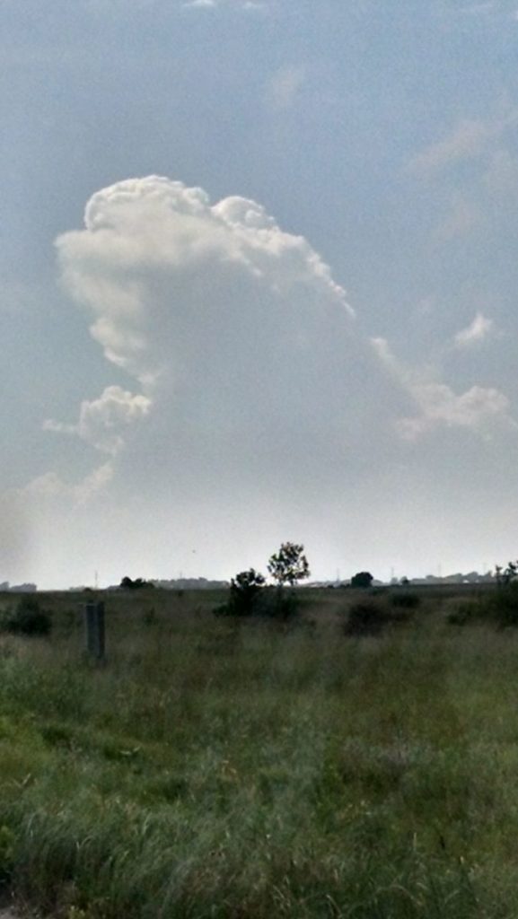
I met up with the new kid, Riley just north of Green Lake and we headed to the east side of the lake to watch the storm since there are very few places in the area that have a decent view for chasing. After seeing how the inflow was still surging into the storm and another updraft was moving north to the tornado warned storm, I told Riley we needed to move and we ended up in an area just south of Hawick, MN where I knew there was a spot we could park and see the storm and wait for it.
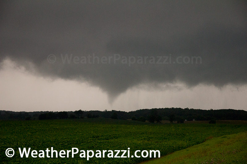
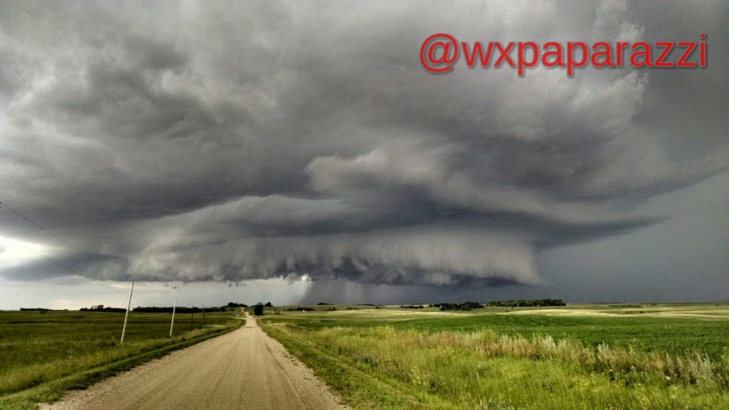
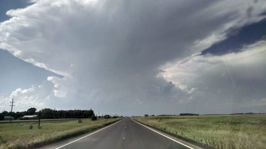
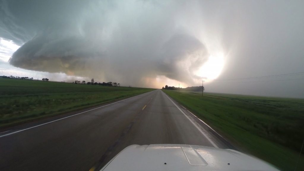
A few minutes later we were watching this in the sky with an almost perfect view of the horizon considering the area was hills, trees and ponds.
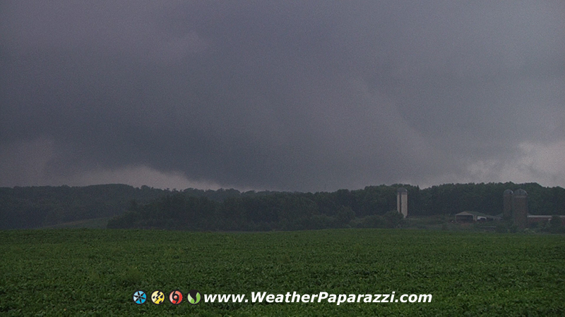
Now we were in perfect position just south of Hawick, MN watching the wall cloud and meso with intense inflow and rotation a few miles to our north. I know, why didn’t I get closer? Simple answer is if you got closer you were stupid because of the tree’s and lack of visibility with this storm. This storm required some distance from the meso to be safe and to see what was happening to get some decent footage and photographs.
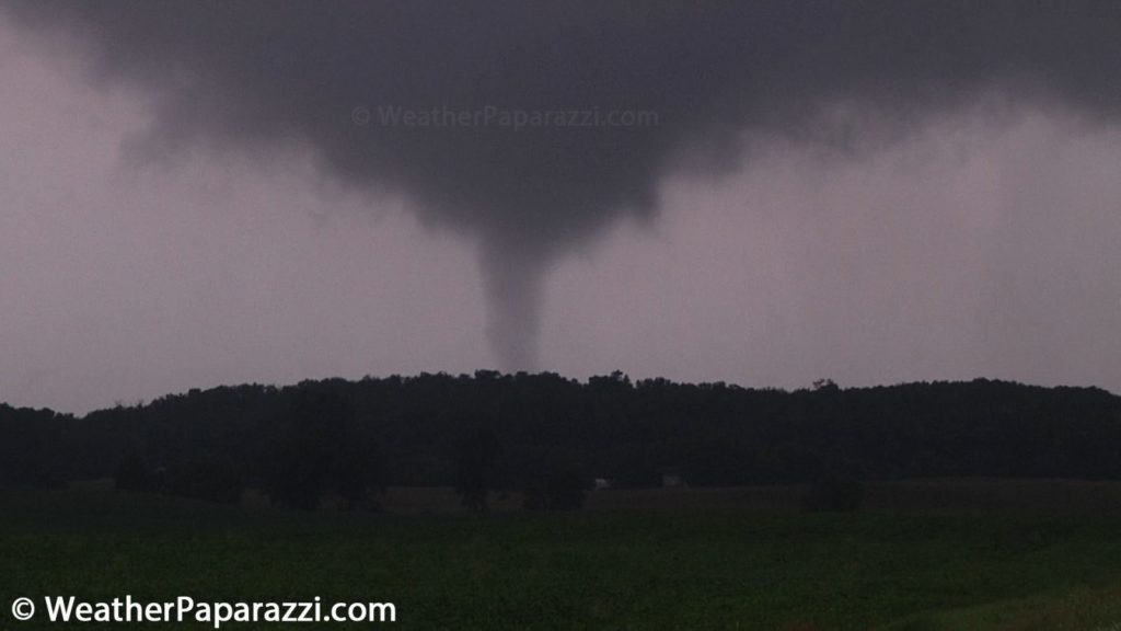
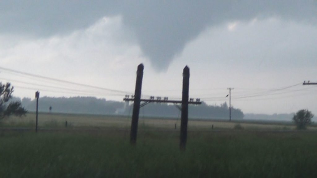
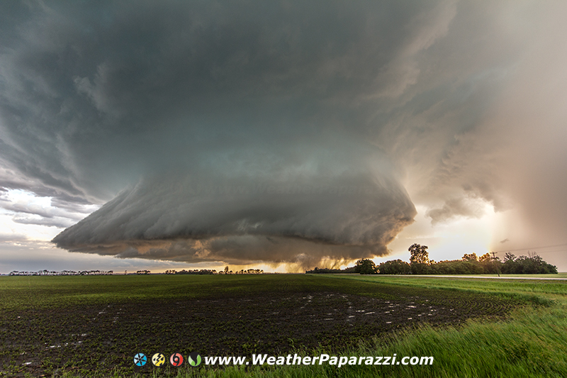
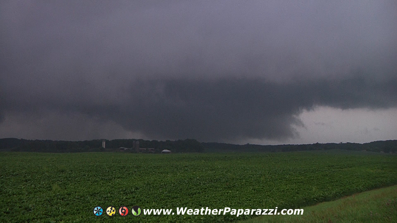
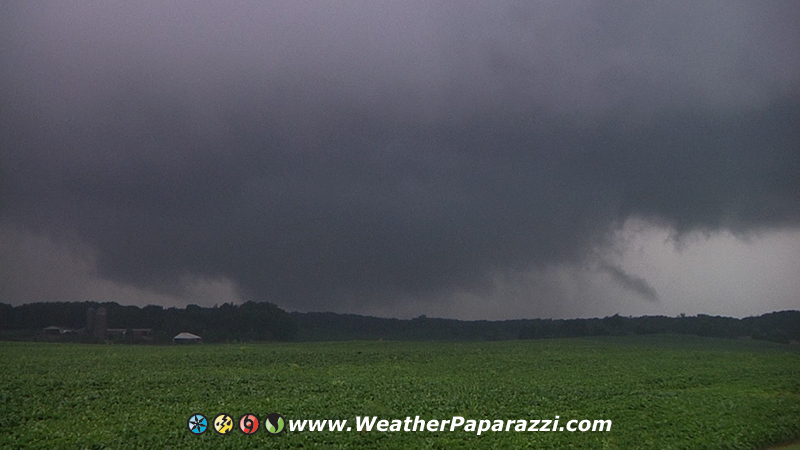
It did not take long for the storm to pulse back to life and with in a few minutes, it dropped what I can confirm in the video, 4 new tornadoes near Hawick, MN. They only lasted from a few seconds to a few minutes but it was an amazing sight if you were a chaser but I heard that a farm did take a hit from the storm.
Here is the video from the chase.
Here are some stills from the tornado.