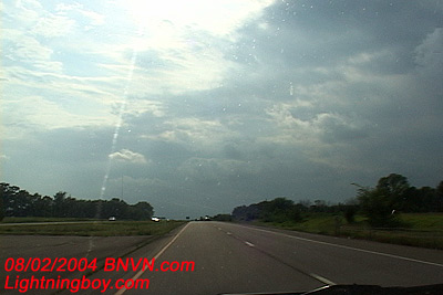
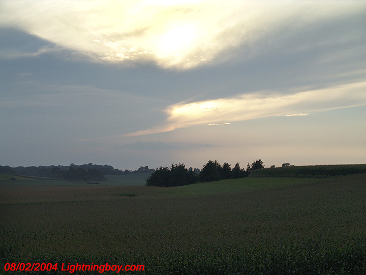
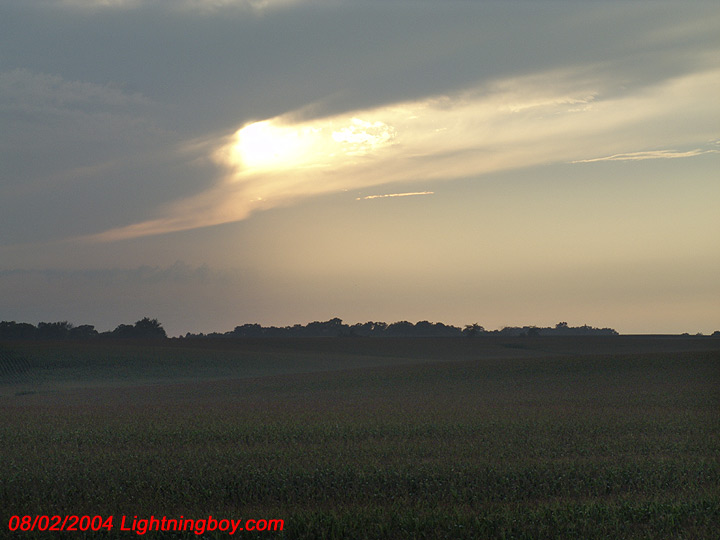
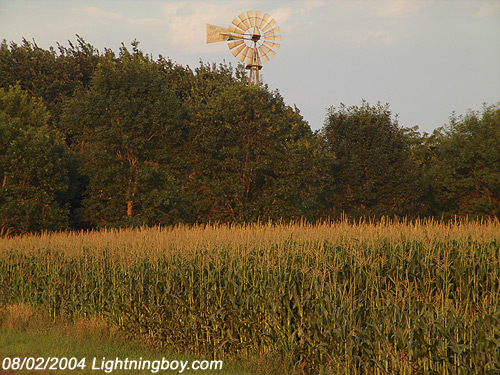
Ok, the storms were a TOTAL BUST and nothing happened. But I was able to get out and play with the new digital still camera some more and take some cool scenic photographs near Henderson Minnesota.

Home page for Douglas Kiesling
Doug Kiesling – Weather Paparazzi
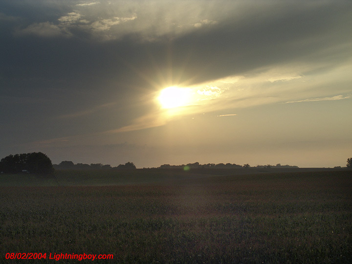
Ok, the storms were a TOTAL BUST and nothing happened. But I was able to get out and play with the new digital still camera some more and take some cool scenic photographs near Henderson Minnesota.
Out Storm Chasing. Right Now I’m In Lake Crystal MN, which is in the center of this watch and about 90 minutes southwest of Minneapolis. Weather Watch 690 Severe Thunderstorm for Minnesota and South Dakota until 9:00 PM CST – AXIS..35 STATUTE MILES NORTH AND SOUTH OF LINE.. 15S HON/HURON SD/ – 45ESE MKT/MANKATO MN/ .AVIATION COORDS.. 30NM N/S /70WNW FSD – 54NNE MCW/ HAIL SURFACE AND ALOFT..2 INCHES. WIND GUSTS..60 KNOTS. MAX TOPS TO 500. MEAN STORM MOTION VECTOR 28035.
Right now, this storm system is looking pretty lame. How Lame? Well were talking Hella Evil Cartman Lame!!! But, I still have 2 hours of daylight left to work with so something may fire up still…
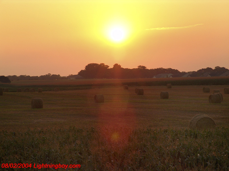
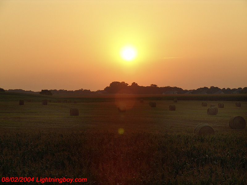
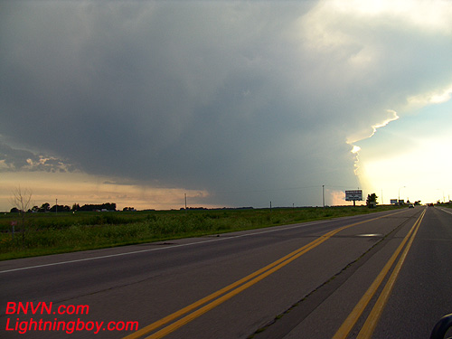
Well, I went to Worthington MN, I chased clear blue sky, I busted hard due To An Atomic Cap!
The air aloft was hella warm and the storms just could not fire. But, I did make the best of it and did some photography south of Marshall MN of some cool looking stuff. Notice the clear sky? At least I got to take one of the photographs that I have been looking to get and some more experience with the new camera.
8/1/2004 AM Just waking up and getting ready to go out storm chasing and the storms came to me!!! Got a hail storm in Burnsville MN. Now were heading out to storm chase the big storms this afternoon.
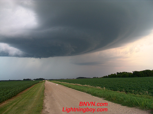
I had to shoot some video for The Weather Channel this afternoon so I was not able to get out to chase the storms by Sioux Falls SD, but I was able to get to the storms by Blue Earth County, near the town of Madeila, MN.
Below are the videos from this day.
7/31/2004 Wall Cloud Video, Meso Video and Lightning Video
7/31/2004 Vivid Lightning video at dusk.
Out Playing Weather Channel Videographer Again But This Time, I Take Full Advantage Of The View From Home.
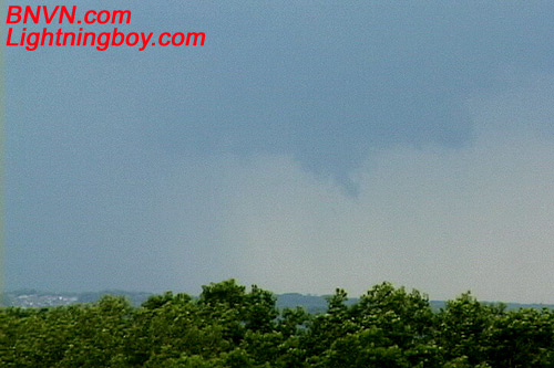
Looking Towards The West From My Master Bedroom Deck From Home While Watching The Storms Form, Whats This, A Brief Cool Air Funnel?
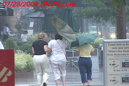
Then it was off to the races to get into downtown Minneapolis before the rain started. Traffic SUCKED but I made it for the rain. It was a case of the Have’s and Have Not’s In Downtown Minneapolis. That’s People With Umbrellas And Without Umbrellas… Guess They Should Have Watched The Weather Channel Eh?
7/28/2004 Out Playing Weather Channel Photographer Videographer This Afternoon. I guess you could say it was a rainy but good B-Day present for me since it has been very dry around Minneapolis, MN for a few weeks.
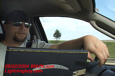
Last night I picked up a new 8 Mega Pixel Sony digital still camera and had about 30 minutes to figure out how to use it before I had to head out the door to chase some more space weather.
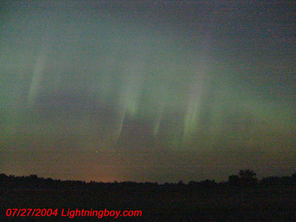
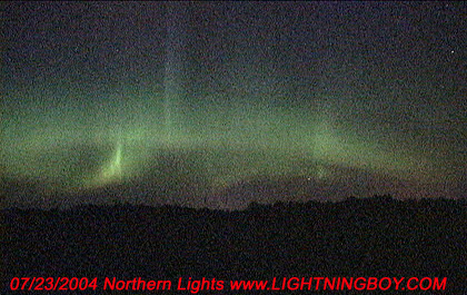
Out Chasing Space Weather For The Weather Channel This Morning. This Geomagnetic Storm, Due To A Coronal Mass Ejection From The Sun Hitting The Earth Last Night.
Just got home from yet another storm chase and hunting down some more storm video for The Weather Channel. The lightning and hail was kind of lame but the wind was Hella Cool. I got into some Hurricane Force Winds In Renville County Minnesota that just rocked the truck and trashed on the corn crops in that area of the state.